Computer-vision drones and static AI cameras working in concert to keep your transportation networks and industrial sites safe, efficient, and predictive.
Aggregate aerial and roadside camera feeds into live congestion heatmaps—optimizing signal timing and reducing jams.
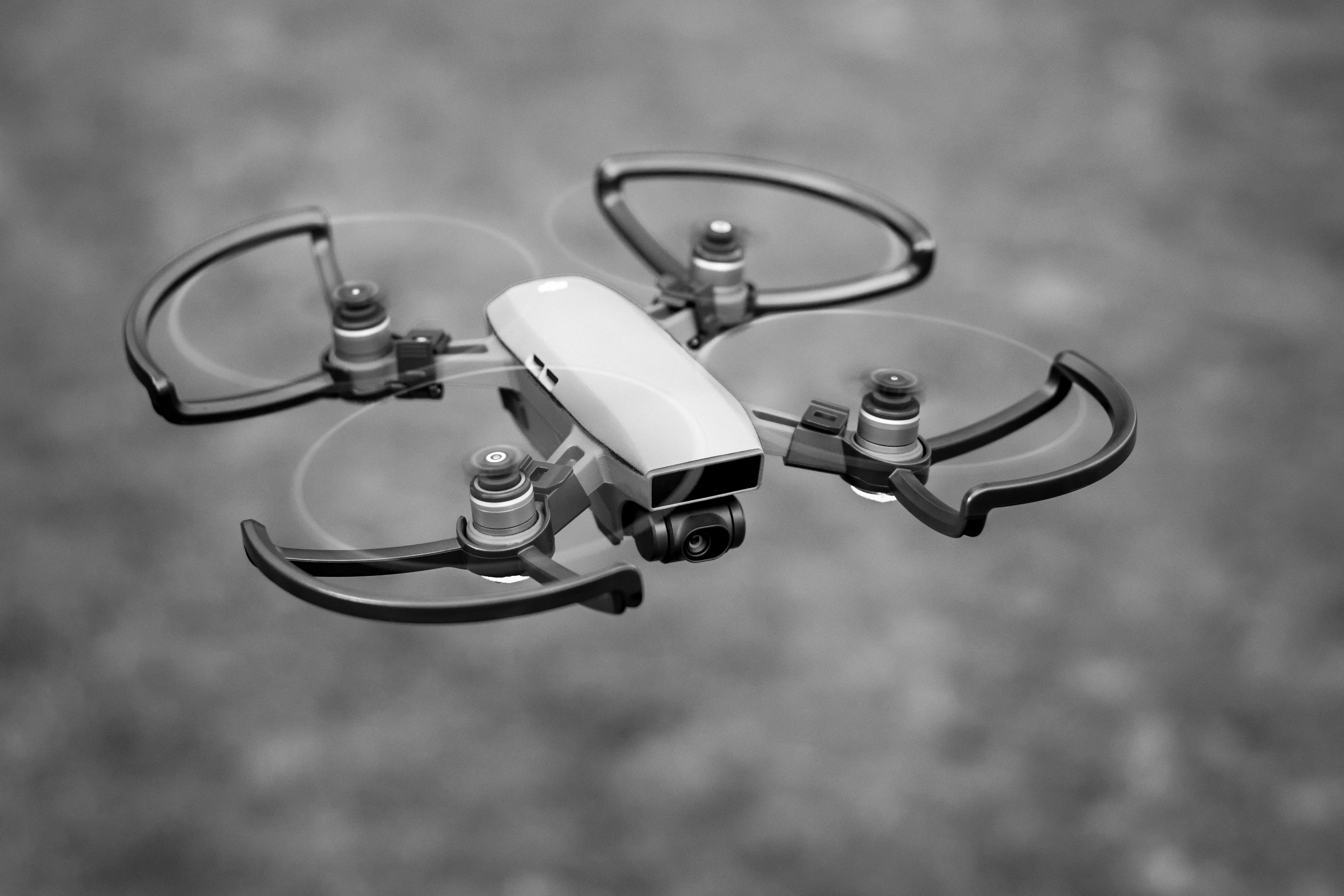
High-res drones inspect bridges, towers, and facades—feeding AI models that flag cracks, corrosion, and material fatigue.
Edge-AI cameras detect early signs of wear on conveyor belts, turbines, and pipelines—triggering alerts before failures occur.
Fuse drone-collected geospatial data with ground cameras to drive asset tracking, crowd management, and energy optimization.
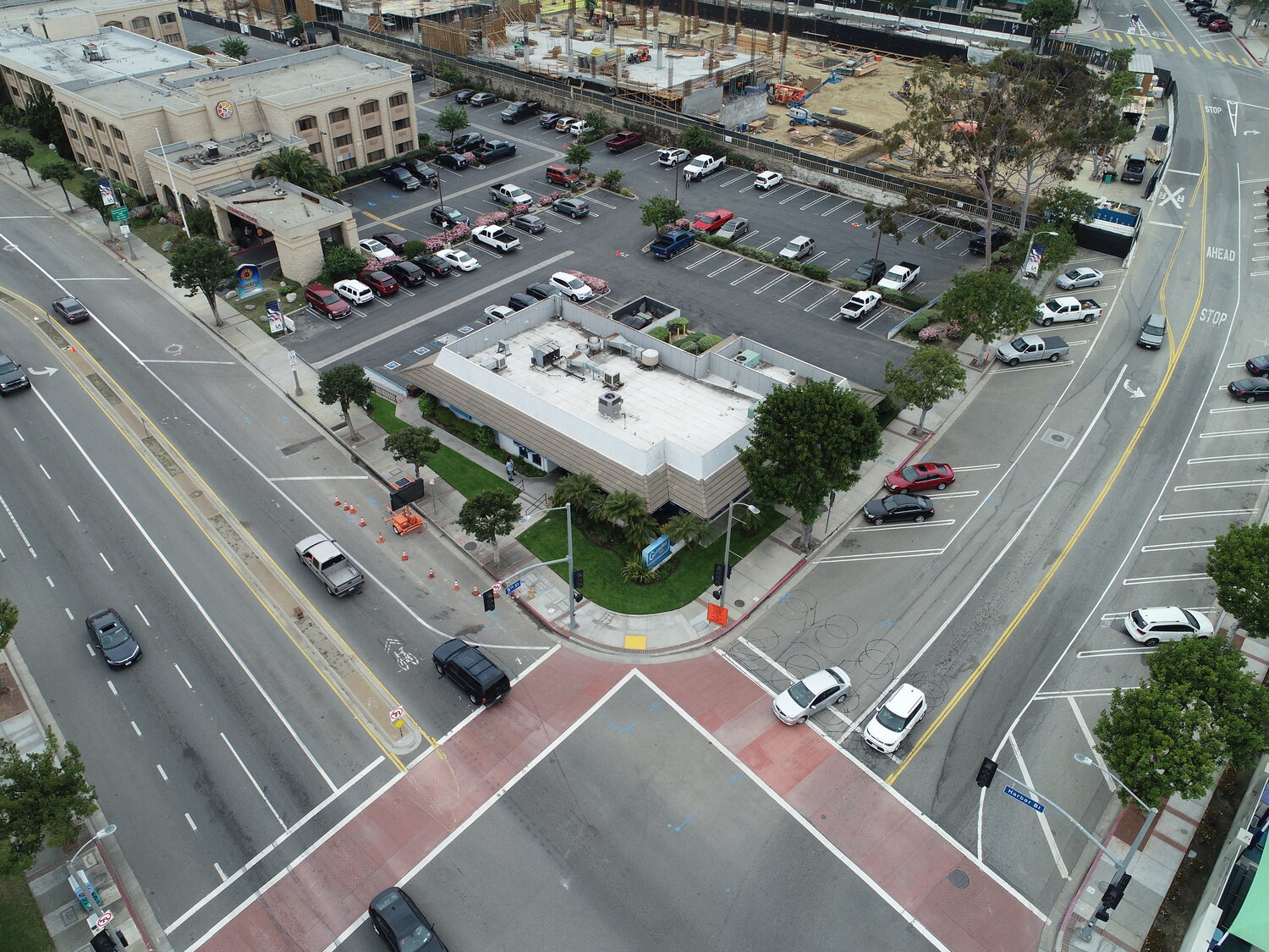
Our dual-camera network (drone + curbside) streams into edge servers running YOLO-based models—instantly mapping speeds, density, and incident zones for traffic control centers.
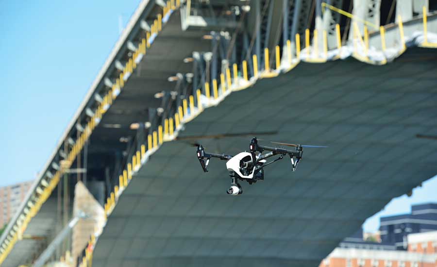
Pre-programmed flight corridors capture 50MP imagery; our AI flags material wear, micro-cracking, and alignment shifts on large infrastructure.
Edge-deployed AI cameras monitor vibration, temperature, and wear on rotating machinery—triggering maintenance before unplanned stops.
We fuse multispectral drone data with fixed-camera streams to deliver crowd flow, air-quality, and asset-tracking dashboards for urban planners.
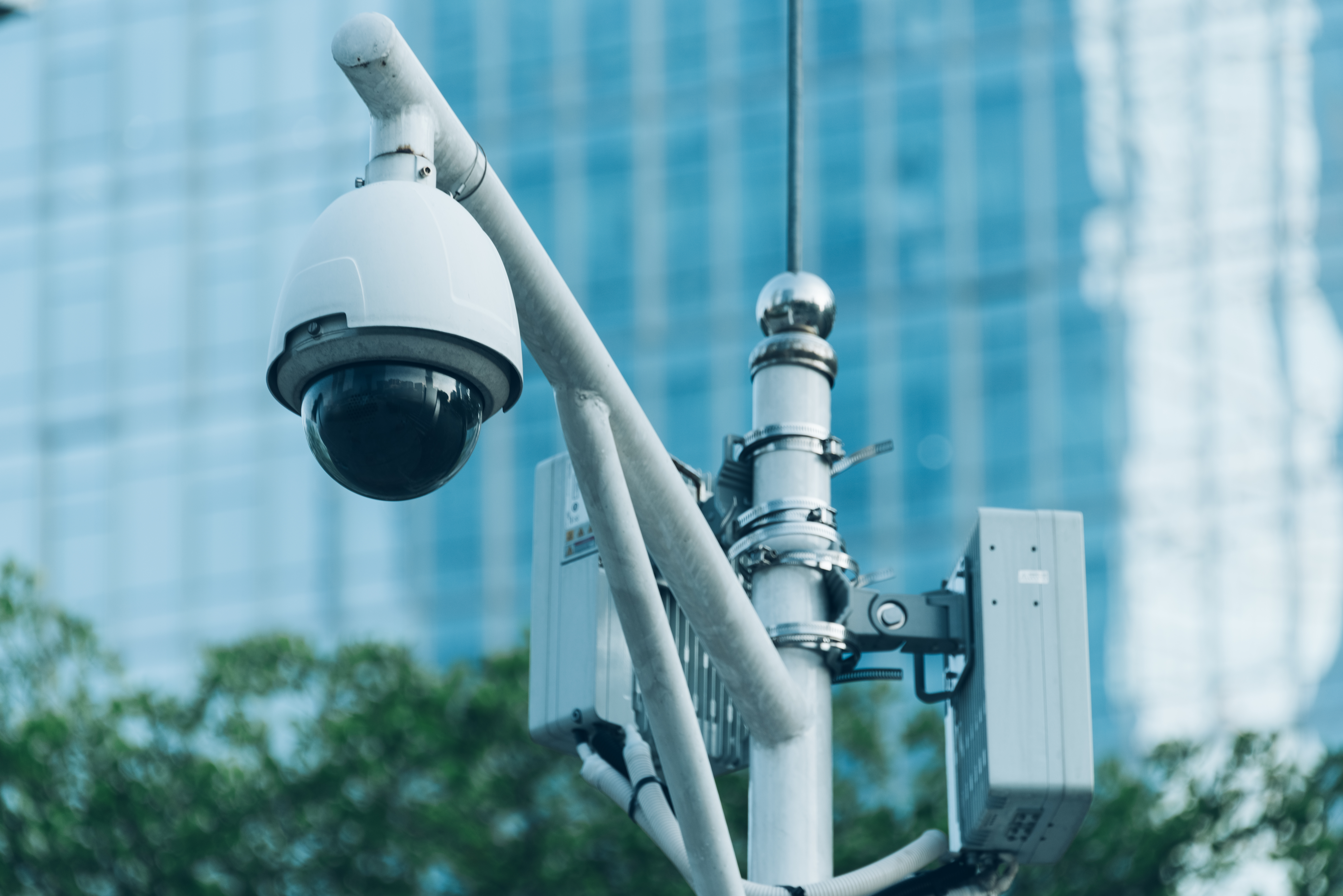
Edge-AI camera modules, high-res sensors & mesh networking built for mission-critical ops.
5 TOPS NPUs for real-time inferencing without cloud dependency.
Low-light & HDR imaging for 24/7 coverage in any environment.
AI-driven multi-target detection and tracking to continuously monitor moving assets and events.
Seamless API hookup to major cloud platforms and on-prem SCADA.
Talk with our engineers today and get a custom demo of Smart Infrastructure & AI Camera solutions.