
Detect hot-spots, monitor wildlife, and assess ecosystem health with precision thermal sensors and AI-powered analytics — empowering sustainable operations across every terrain and industry.
Sub-2°C sensitivity for pinpointing equipment failures, human presence, and thermal anomalies in critical infrastructure.
Multispectral fusion to generate NDVI maps, revealing plant stress, drought zones, and optimized irrigation schedules.
AI-driven turbidity and temperature analytics to monitor aquifers, reservoirs, and industrial discharge in real time.
 ±1°C Accuracy
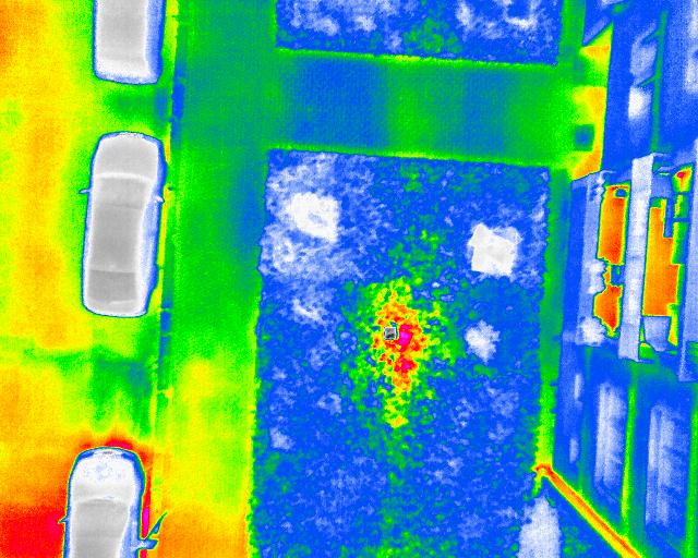
Our thermal payload captures 16-bit radiometric data, enabling edge-AI models to detect anomalies (overheating motors, hidden human presence) before they become critical incidents.
4 TOPS NPU for
real-time inference on board.
Up to 40 min continuous flights
with thermal active.
Encrypted API to major cloud
and SCADA systems.
End-to-end AES-256 + blockchain
verification.
Reach out for a custom demo of our thermal imaging & environmental monitoring platform — pilot programs available with zero-risk evaluation.